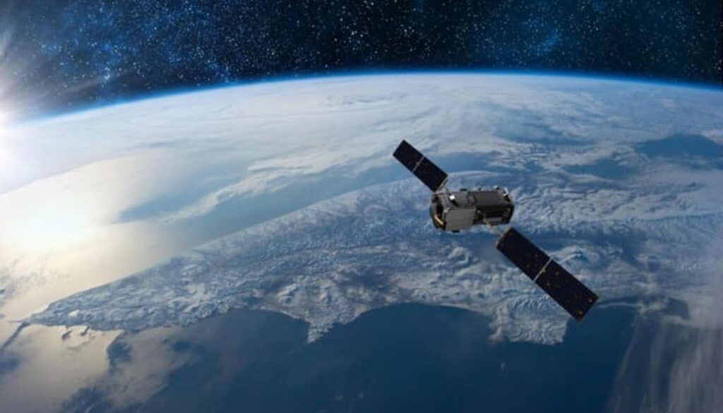
Advanced Earth Observation Satellite
We’re excited to announce the development of a cutting-edge Earth Observation Satellite designed to monitor environmental changes and support disaster management across Armenia and neighboring regions.
This satellite will provide high-resolution imagery to track climate patterns, deforestation, and urban development. It will play a vital role in natural disaster monitoring, such as tracking wildfires, earthquakes, and floods, enabling faster response times and better preparedness.
By combining advanced imaging technology with real-time data analytics, this project aims to make a significant contribution to environmental sustainability and safety. Stay tuned for more updates!

